Synopsis
The Troll Wall is the tallest vertical rock face in Europe in which we can find the iconic Fiva Route, that has never been skied before Kilian Jornet gave it a go in 2018. Discover Kilian’s journey to become one of the best step skiers in the world and how he managed to descend a challenging route in the Norwegian Alps.
“The trail that runs through the Fiva route has caught my attention ever since I moved to Norway, but it’s taken me more than two years to find the perfect day to attempt the descent"
Date of activity
17th February 2018
The location
The Rauma Valley (Romsdal, Norway), with its large rock faces on both sides, it’s a paradise for rock climbing in the summer and ice climbing in the winter with walls between 500 and 1000 meters of altitude. Even if it is a more suitable place for climbing than it is for skiing, there are some great possibilities there.
The challenge
Descent on skis of Fiva route, located in Trolltind (Norway), where the Troll Wall is located, the highest vertical wall in Europe.
The descent
The summit is at 1,788 m and the bottom of the face is 100 m. The end of the downhill part is 25 m. So there are 1,688 m of skiable route. The average inclination is around 50°.
Audiovisual piece
The documentary tells of this first descent, but also talks of Kilian Jornet’s progression as a steep skier. It includes testimonials from prominent skiers in the same field, such as Vivian Bruchez, Killian Jornet’s mentor.
Kilian explains...
“I went to inspect the route. However, I realised at once that the conditions were very favourable, so I realised that I had to try it no matter what. The upper section is perhaps the most complicated, as they are probably the most vertical 200 m that I have ever skied. Following that, there was quite a narrow couloir of 400 m and then 100 m of more skiable sections, but which were very icy and steep in parts. It’s a very exposed route where you have to fully concentrate, but in the end the result was very satisfactory”
FIVA ROUTE
1,700 m
Average inclination of 55º to 60º
5h40 going up and down
The downhill is divided in 4 parts
1- From the summit to the pass: from the summit going southwards following a couloir and keeping as close as possible to the ridge, 5 m uphill to the pass. An easy ski with some dry ski. 80 m - 40-45°.
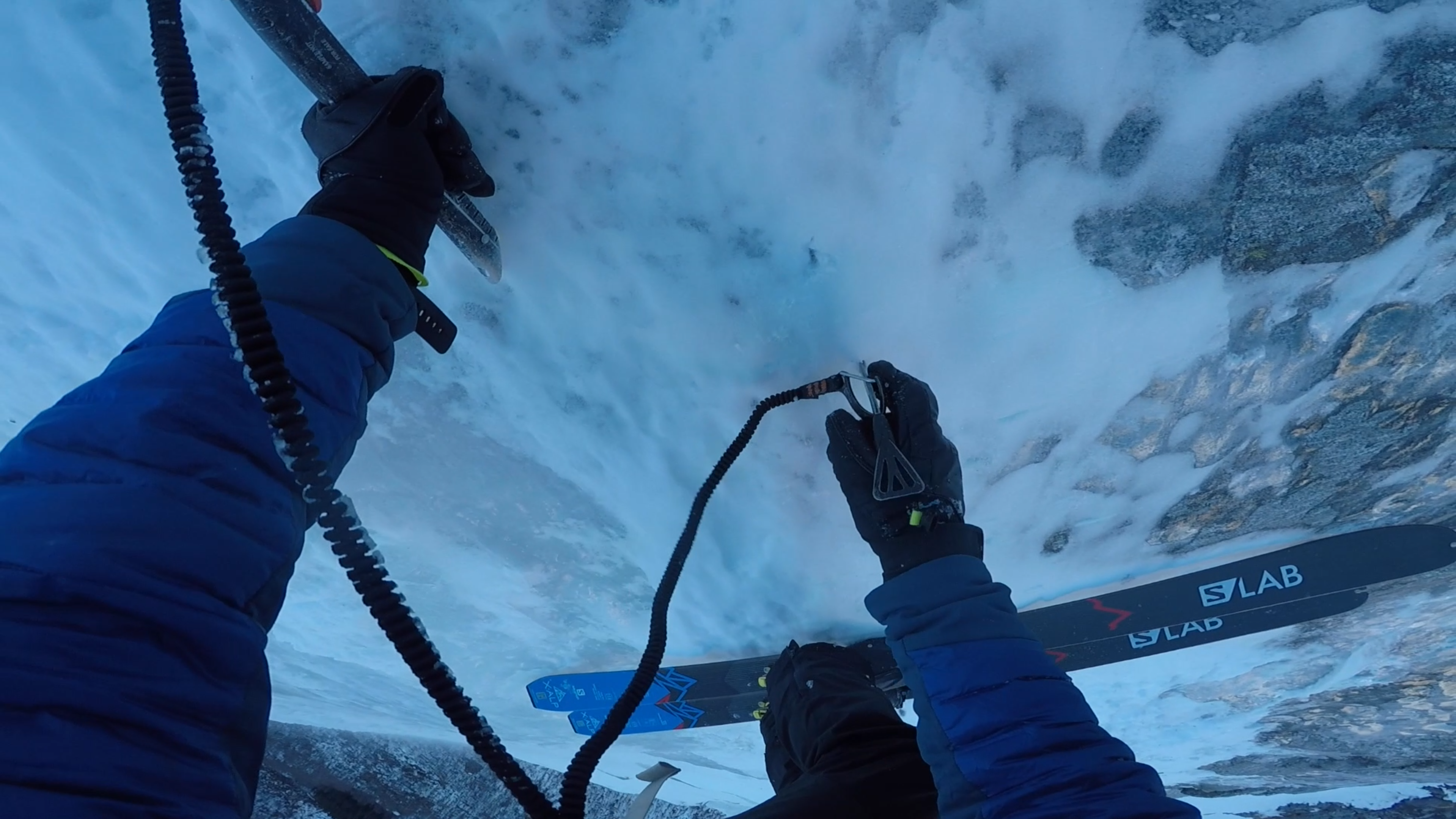
2- From the pass/scar, one abseil (40 m) down, then a little ridge skiing. Then entering a small couloir up to an icefall and then a 2nd abseil (40 m). 200 m - 60°.
3- Some very steep turns on a 60° exposed face, then entering a long and narrow couloir at 50-55°, for 500 m. It then becomes larger and less steep, until it turns into a vertical icefall. Before that I crossed the couloir to enter a small cave below the north wall and I had to climb 10 m, which was easy, although steep and very exposed.
4- The lowest 900 m are less steep, 45° on average, but with short, steep sections often with blue ice. It is huge, so easy to get lost.
From there were 2 turns towards the river and a 1 minute ski back to the car. It took me 5 hours 40 minutes to complete the journey.
Gear
-
Salomon X-Alp ski (79mm – 160cm) with binding ATK Trofeo
-
Poles salomon sense 120cm
-
Boots Gignoux black
-
Crampons Petzl Irvis hybrid
-
Ice axes Petzl Gully (x2)
-
helmet salomon MTN Lab (prototype light)
-
harness Petzl Altitude
-
1 safety carabinner attache
-
2 ice screw (laser speed light)
-
1 abalakov hook
-
2 cams
-
4 pitons (blade, lost arrow, angle) I used 2 for the abseil
-
Slings (a 4m of 5mm dynema + 2 120cm dynema flat sling)
-
Ice-axe leash (BD spinner leach)
-
Rope rab 5mm dynema 60m.
-
Softshell pant
-
Softshell jacket
-
Down jacket salomon Hoodie
-
Globes (thin pair and warm pair QST)
-
Backpack 30L Salomon QST
-
Sunglasses Salomon Kantenga
-
Beanie / buff
-
Skins Pomoca Race 70mm
-
Smartphone


